Abu Musa Lighthouse
Abu Musa Lighthouse has a focal height of 130 metres and a range of 9 nautical miles.
- Focal height
- 130 metres
- Range
- 9 nautical miles
- Coordinates
- 25.875, 55.03
The Abu Musa Lighthouse is situated on Abu Musa Island, which is located near the entrance to the Strait of Hormuz in the Persian Gulf. The island, with an area of approximately 12.8 square kilometers, has a strategic position due to its proximity to the shipping lanes. Abu Musa Island is currently administered by Iran, as part of the Hormozgan province, but its sovereignty is disputed by the United Arab Emirates.
The Abu Musa Lighthouse is a masonry tower with a short square shape, located atop a building on the island. The exact year of its construction is not specified, but it serves as an important aid to navigation for ships passing through the Strait of Hormuz. The lighthouse is still in operation, although its current status and condition are not detailed.
The island of Abu Musa has a long and complex history, with various countries having claimed sovereignty over it at different times. The dispute over the island's ownership continues to this day, with both Iran and the United Arab Emirates claiming rights to the territory. Despite the dispute, the Abu Musa Lighthouse remains an important landmark in the region, providing guidance to ships navigating the busy shipping lanes of the Persian Gulf.
Light and tower
It has a short square tower atop building tower. The tower is built of masonry. The light has a focal height of 130 metres. The light has a range of 9 nautical miles. The NGA list of lights numbers it 28744. The Admiralty list of lights numbers it D7706.
Videos
LIVE | Iran Warns Of Strikes On UAE Energy, Pentagon Eyes Abu Musa Seizure At Hormuz Chokepoint | US
How Iran Built an Airport on Abu Musa Island in the Persian Gulf (Full Process)

Trump Moves to Occupy Abu Musa Island in the Gulf and Deploy Ground Troops After Losing Control o...
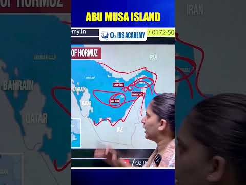
Abu Musa Island #upsc #ias
Details
- Range Nm
- 9
- Nga Number
- 28744
- Tower Shape
- Short square tower atop building
- Focal Height M
- 130
- Admiralty Number
- D7706
- Construction Material
- Masonry tower