Barren Island
- Coordinates
- 12.27778, 93.85833
Barren Island is an active volcanic island located in the Andaman Sea, within the Andaman Islands archipelago. The island has a total area of 8.34 square kilometers and is situated at a coordinates of 12.28 degrees north and 93.86 degrees east. It is part of the North and Middle Andaman district and is classified as uninhabited.
The island features a volcano that stands at an elevation of 353 meters, with a coastline of 12.38 kilometers. The volcano has been active, with recent eruptions reported in 2025. The island's terrain is rocky and barren, with no permanent human settlements. The climate on the island is tropical, with average summer temperatures ranging from 30.2 degrees Celsius and average winter temperatures ranging from 23.0 degrees Celsius.
Barren Island has an interesting geological history, being home to India's only active volcano. The island's volcanic activity has been monitored by scientists, and it is considered a unique feature of the Andaman Islands. The island's remote location and lack of human habitation have preserved its natural state, making it a fascinating subject for geological studies. Despite its rugged terrain, the island is a notable landmark in the Andaman Sea, with its volcanic activity making it a subject of interest for scientists and researchers.
Videos

Barren Island Andaman & Nicobar | Active Volcano of India | Andaman Islands | Andaman Travel Guide
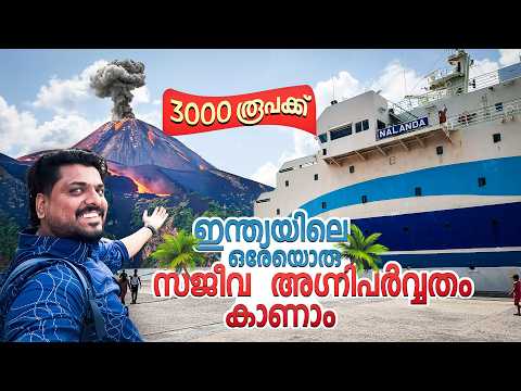
Andaman 🇮🇳 #3 - See India's only active volcano on a boat | Barren Island Volcano
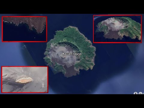
Exploring The World's Most Barren Island.. known as Barren Island..

You Won't Believe What We Found on Barren Island Andaman
Details
- Description
- '''Barren Island''' is an uninhabited island in the Andaman Sea. It is the only confirmed active volcano in the Indian subcontinent, and the only active volcano along a chain of volcanoes from Sumatra to Myanmar. It is a part of the Indian Union territory of Andaman and Nicobar Islands, and lies about northeast of the territory's capital, Port Blair.
- Location Text
- Andaman Islands