Piedade
- Coordinates
- 38.42438, -28.05501
The Piedade lighthouse, also known as the Lighthouse of Ponta da Ilha, is located on the eastern coast of Pico Island in the Azores. The lighthouse was originally proposed in 1883 but was only built in the mid-20th century. It is situated in the parish of Piedade, which was founded after 1506 and has a population of 844 as of 2011. The parish is known for its beautiful landscapes and was once a major producer of Verdelho wines.
The lighthouse is one of the notable architectural features of the parish, along with the parochial church, hermitage, and windmills. The parish is divided into three zones: Piedade, Calhau, and Manhenha, and includes several localities and fishing ports. The lighthouse was built on lands ceded by local residents and is classified as a building of public interest.
The parish of Piedade has a rich history, having been affected by the 1755 Lisbon earthquake and the phylloxera plague that destroyed its vineyards. Today, the parish is home to several parks and nature reserves, including the Parque Florestal Matos Souto, which is dedicated to a local commander who made his fortune in Brazil. The lighthouse remains an important landmark in the parish, standing on the extreme east coast of Pico Island.
Videos

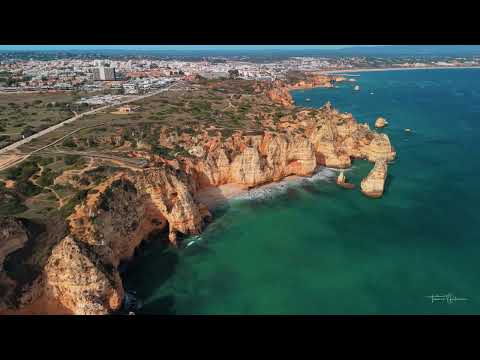


Details
- Description
- '''Piedade''' is a civil parish in the municipality of Lajes do Pico on the island of Pico, the Portuguese Azores. The population in 2011 was 844, in an area of 12.81 km2.
- Location Text
- (Lajes do Pico, Piedade)