Valsad
- Coordinates
- 20.63333, 72.93333

Valsad is a city in the state of Gujarat, India. The city is situated in the Valsad district, for which it serves as the district headquarters. It is located north of Vapi and shares a border with the state of Maharashtra and the union territories of Daman and Diu to the south.
The city has a total area of 24.10 square kilometers and is situated at an elevation of 13 meters above sea level. As of the 2011 census, the population of Valsad was approximately 170,060 people. The city has a literacy rate of 91 percent and the official language is Gujarati.
The name Valsad is derived from the Gujarati words "vad" meaning banyan tree and "saal" meaning covered or shawl. Historically, the city was known as Bulsar during the British era. Today, Valsad is a thriving city with a rich history and culture. The city's population density and other demographics make it a unique and interesting place to visit or live. There is no information available on a lighthouse in Valsad.
Videos
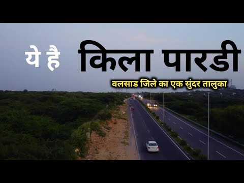
ये है वलसाड का खूबसूरत तालुका पारडी 😱😱😱 | pardi | valsad | gujarat | sanjeev mishra | kila pardi
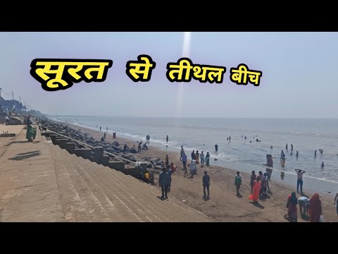
Tithal Beach - The Golden Sand (Surat - Valsad)
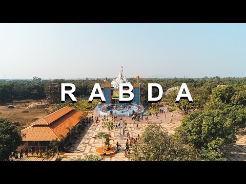
Vishwambhari Maa Temple | Rabda | Valsad | By Jaymin Patel | Dreamers Trip
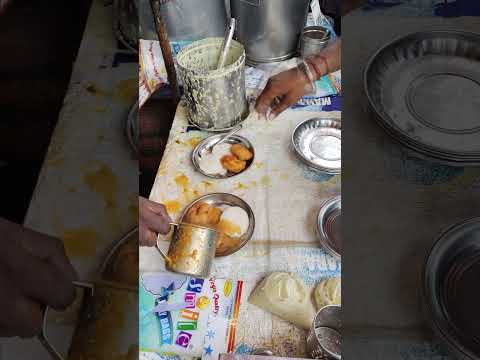
Must-visit spot in Valsad for medu vada & idli #shorts #idli #foodie #valsad #famous #viral
Details
- Description
- As of the 2011 India census, Valsad (metropolitan area) has a population of 170,060. Males constitute 51% of the population and females 49%. Valsad has an average literacy rate of 91.66%, higher than the national average of 74.04%. Male literacy is 94.62%, and female literacy is 88.58%.
- Location Text
- Khadi