Cape Point
Cape Point has a focal height of 87 metres. It was built in 1860.
- Focal height
- 87 metres
- Built
- 1860
- Coordinates
- -34.35667, 18.5
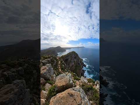
Cape Point is a promontory located at the southeast corner of the Cape Peninsula in South Africa. The cape is situated approximately 2.3 kilometers east and a little north of the Cape of Good Hope. The area is known for its rugged sandstone ridge that rises from sea level and develops into two peaks, with the higher peak having the old lighthouse on top.
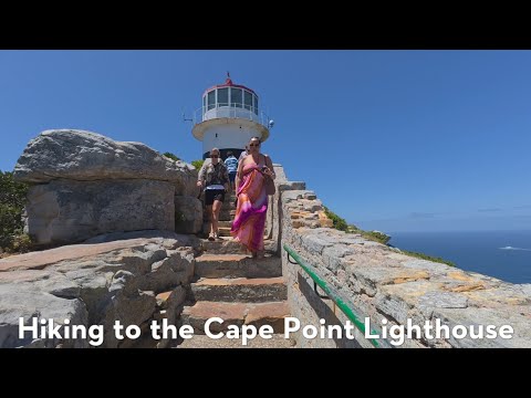
The old lighthouse, built at an elevation of 262 meters above sea level, was often obscured by fog, making it invisible to shipping, and could be seen too early by ships rounding the point, causing them to approach too closely. This led to the wreck of the Portuguese liner Lusitania on Bellows Rock in 1911, prompting the relocation of the lighthouse. The new lighthouse, built at a lower elevation of 87 meters above sea level, has a range of 63 kilometers and an intensity of 10 megacandelas in each flash, making it the most powerful on the South African coast.
Today, the Cape Point area is a scenic and historic location, with the old and new lighthouses still standing. The Flying Dutchman Funicular runs from a car park to the north up to slightly below the level of the old lighthouse, and a short flight of steps leads to a viewing platform around the base of the lighthouse. The area is also home to Table Mountain National Park, making it a popular destination for tourists and nature enthusiasts.
Videos

Details
- Year Built
- 1860-05-01, 1919-03-11
- Location Text
- Cape Point, WC
- Focal Height M
- 87