Datça
- Coordinates
- 36.72833, 27.68694
Datça is a municipality and district of Muğla Province in Turkey, located midway through the Datça Peninsula. The district has an area of 436 km² and a population of 25,029 as of 2022. The town center was previously located in the village of Reşadiye until 1947, when it was moved to its present location.
The Datça Peninsula is a long and narrow strip of land, approximately 100 km in length, with small bays and coves facing south and north along its length. The peninsula is connected to the mainland by a narrow isthmus, and its western tip is home to the ancient city of Knidos. The district's name is derived from the ancient town of Stadia, which was later modified to Tadya, Dadya, Dadça, and finally Datça.
The history of Datça is marked by its previous status as a nahiya of Marmaris District until 1928. The town and peninsula were briefly renamed Reşadiye in the early 20th century, in honor of the Ottoman Sultan Mehmed V Reşad. Today, Reşadiye is the name of one of the quarters of the town. Despite its rich history, there is no specific information available about a lighthouse in Datça, suggesting that it may not be a prominent feature of the district.
Videos
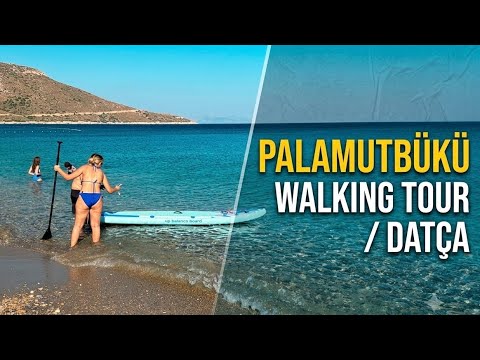



Details
- Description
- A point of note on the general settlement pattern of these villages is that the locations chosen were never in the immediate coastline, but always at a mile's distance or more from the sea and at a relatively safe altitude on the slopes of a hill. The reason was from times immemorial was the fear of pirates, advantaged as they were by the intricate geology of shores of southwestern Turkey and of the many islands and islets that are its natural extensions, in an environment not unlike that of the Caribbean Sea. Piracy remained a serious security problem well until the beginning of the 20th century.
- Location Text
- Feneri, Muğla Province