Farol da Nazaré
- Coordinates
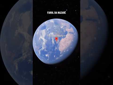
- 39.6045, -9.08539
The Farol da Nazaré, also known as the Fort of São Miguel Arcanjo, is located in Nazaré, Portugal, in the Oeste region. The fort was first constructed in 1577 under the orders of King Sebastian I of Portugal. It was built on cliffs and surrounded by the sea to the north, west, and south. The fort has undergone remodeling and expansion on several occasions since its initial construction.
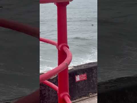
The Fort of São Miguel Arcanjo is a popular tourist site, particularly because of its proximity to a famous surfing area known for its high waves. The fort now functions as both a lighthouse and a museum, which is devoted in part to surfing. It has an irregular plan, which was necessary to adapt it to the outline of the promontory on which it is built. The fort is in good condition and is open to the public.
The fort has a rich history, having been involved in several significant events, including the French invasion of Portugal in 1807 and the Portuguese Civil War from 1833 to 1834. It was occupied by a detachment of 50 men during the French invasion and was also used to defend against attacks by pirates. Today, the fort is a popular tourist destination and a significant historical landmark in Portugal.
Videos
Details
- Description
- The '''Fort of São Miguel Arcanjo''' (St. Michael the Archangel) is situated in Nazaré, Oeste region of Portugal. It was first constructed in 1577 but has undergone remodeling and expansion on several occasions since then. The fort is a popular tourist site, particularly because of its proximity to a surfing area famous for the height of its waves. It now functions as both a lighthouse and a museum, which is devoted in part to surfing.
- Location Text
- (Nazaré, Nazaré)