Ratnagiri
- Coordinates
- 16.98333, 73.3

Ratnagiri is a port city located on the Arabian Sea coast in Ratnagiri District, southwestern Maharashtra, India. It is part of the Konkan division of Maharashtra and is known for its production of Alphonso mangoes, earning it the nickname "Mango City". The city has a population of approximately 327,120 people as of 2018 and is situated at an elevation of 11 meters above sea level.
The city of Ratnagiri has a rich history, being the birthplace of Indian independence activist Lokmanya Tilak. It is also notable for being the residence of Thibaw, the last king of Burma, who was exiled to the city along with his consort. Ratnagiri is home to various notable landmarks, including the Thibaw Palace and the Bhagwati temple.
Currently, Ratnagiri is a functioning city with a municipal council as its governing body. The city has a well-established infrastructure, with a postal index number, telephone code, and registration plate. It is also home to a diverse population, with the official language being Marathi. The city's history, cultural significance, and natural beauty make it a notable destination in the region.
Videos
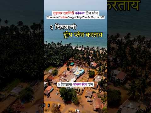
Guhagar Ratnagiri 3 Day Trip Plan | Guhagar Tourist Places | Guhagar Travel Guide | Guhagar Beach🏖️

I Never Knew Ratnagiri Was THIS Beautiful in Monsoon | Hidden Beauty Revealed | रत्नागिरी
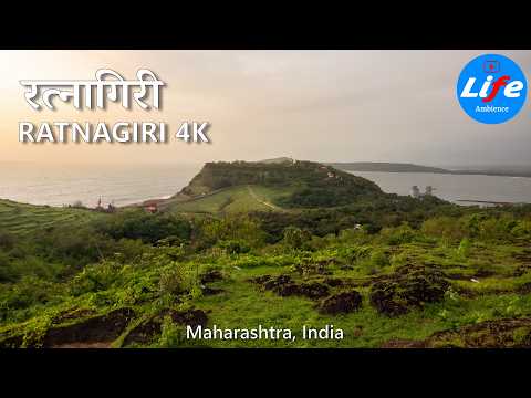
Ratnadurg Fort, Ratnagiri, रत्नदुर्ग किल्ला, Maharashtra Walking Tour 4K
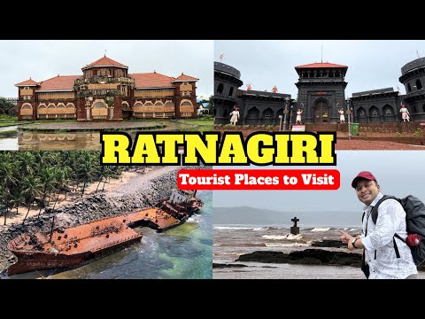
Ratnagiri Best Places to Visit Day 2 | Ratnagiri Travel Vlog | Ratnagiri Tourist Places | Kokan Trip