Ragged Point Lighthouse
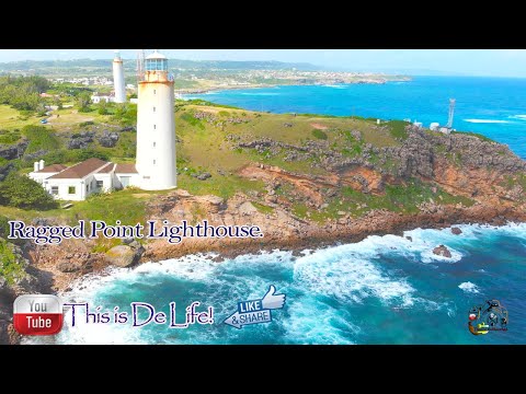
Ragged Point Lighthouse has a focal height of 65 metres, a tower height of 29.5 metres and a range of 3 nautical miles. It was built in 1875.
- Focal height
- 65 metres
- Tower height
- 29.5 metres
- Range
- 3 nautical miles
- Built
- 1875
- Coordinates
- 13.16361, -59.43278

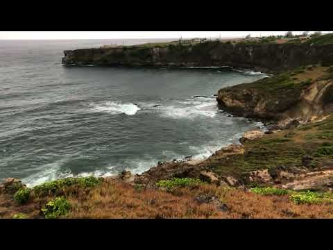
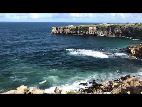
Ragged Point Lighthouse is located at the easternmost point of the island of Barbados, near the village of Ragged Point in the parish of Saint Philip. The lighthouse was built in 1875 and features a cylindrical tower with a balcony and lantern, constructed from limestone. It stands at a height of 29.5 meters and has a focal height of 65 meters, with a white tower and black lantern.
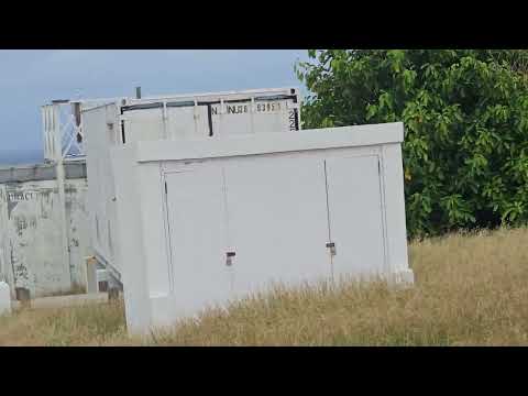
The lighthouse was deactivated from 2007 to 2011, but its exact current status is unclear. Despite this, it remains a notable structure on the island, and its location has been recognized as a prime spot for monitoring cloud formations in the Caribbean Sea. In fact, the Max Planck Institute for Meteorology has a research center nearby, taking advantage of the location's unique conditions.
The Ragged Point Lighthouse has a rich history, having served as a vital aid to navigation for over a century. Its distinctive design and prominent location make it a notable landmark on the island of Barbados. While it may no longer be an active aid to navigation, the lighthouse remains an interesting and historic structure, and its location continues to be of interest to researchers and scientists studying the Caribbean climate.
Light and tower
The light has a focal height of 65 metres. The light has a range of 3 nautical miles. The Admiralty list of lights numbers it J5804.
Videos
Details
- Range Nm
- 3
- Year Built
- 1875
- Focal Height M
- 65
- Tower Height M
- 29.5
- Admiralty Number
- J5804